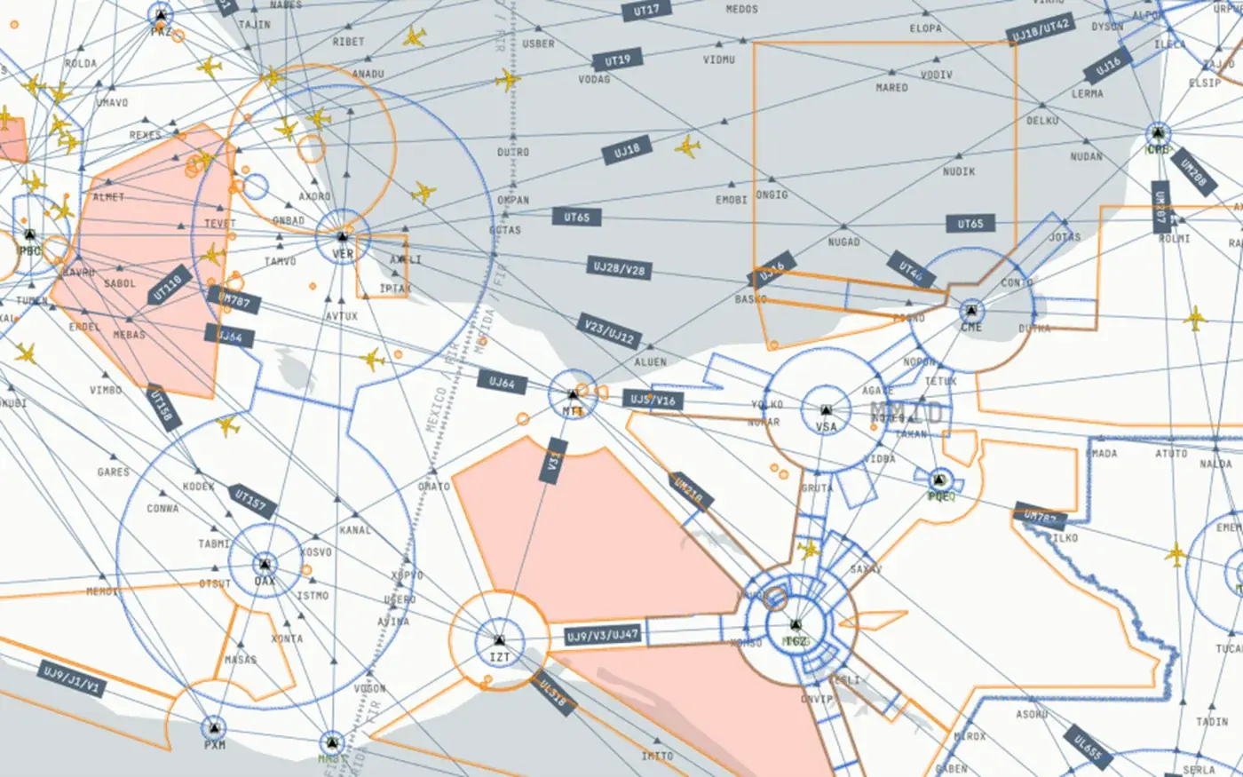
ZDH successfully hosted the official launch event for the Kunyu Map project, marking a significant milestone in Chinese aviation cartography. The event brought together industry leaders, aviation authorities, and technology partners to celebrate this groundbreaking achievement in navigation system development.
Years of dedicated research and development have culminated in this moment, where traditional cartography meets cutting-edge digital technology. The Kunyu Map represents a comprehensive solution that combines historical mapping expertise with modern avionics requirements, creating an unprecedented navigation resource for the Chinese aviation industry.
"This launch represents not just a technological achievement, but a commitment to advancing China's aviation capabilities to world-class standards."
The launch event featured live demonstrations of the Kunyu Map's capabilities, including its seamless integration with modern EFB systems and real-time updating capabilities. Attendees witnessed firsthand how the system enhances situational awareness while maintaining the highest standards of accuracy and reliability that aviation professionals demand.
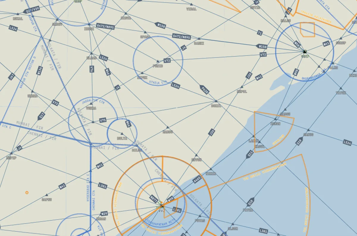
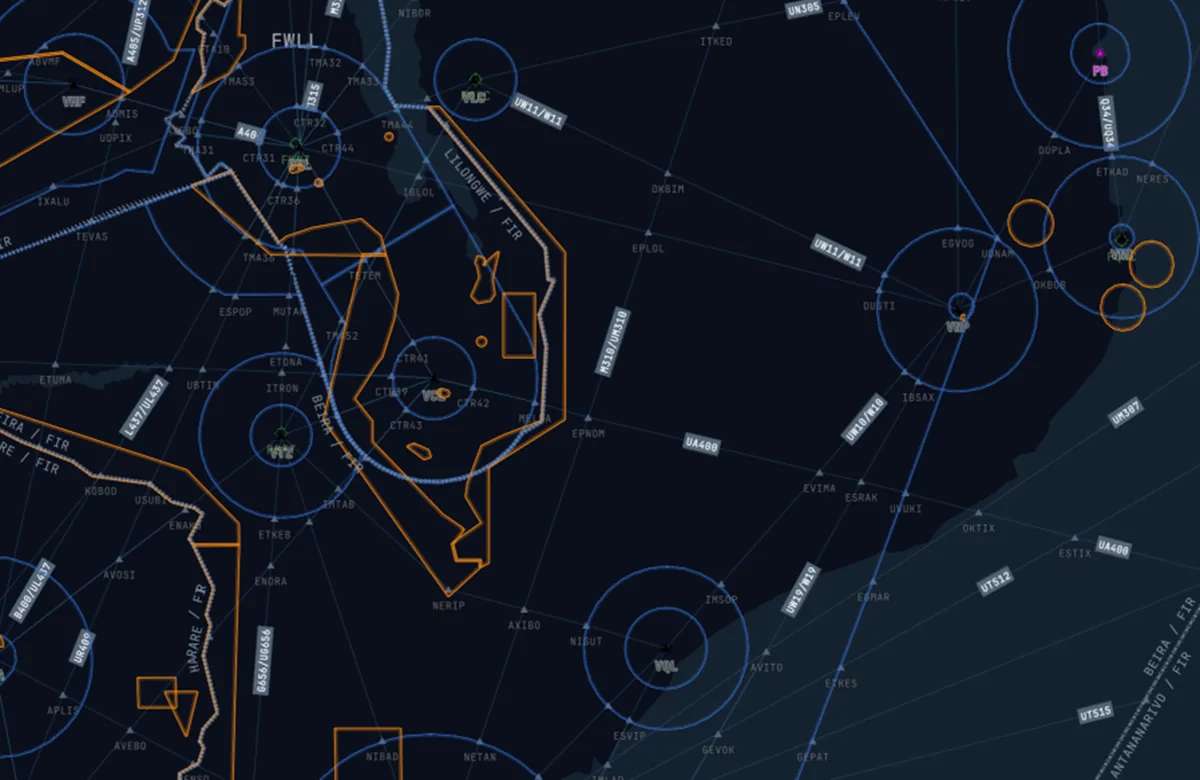
Industry Collaboration
This achievement was made possible through extensive collaboration between ZDH, aviation authorities, and industry partners throughout the development process. The Kunyu Map project exemplifies how public-private partnerships can drive innovation in the aviation sector, combining regulatory expertise with technological leadership to create solutions that benefit the entire industry.